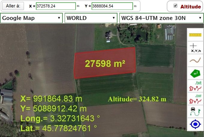
The Map-Tools application offers several utilities under google maps: • Display coordinates, either geographical (WGS84 used in particular by the GPS system) or their conversion in different coordinate systems (Lambert, UTM, RGF93, ETRS89, NAD, ED, ...); • measure distances and areas; • drawing; • import-export text, DXF, KML files; • geolocation; ...
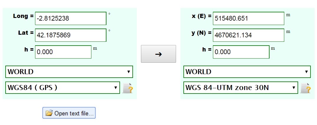
The Coordinate Converter application allows to perform transformations between different coordinate systems (geographical coordinates WGS84 used in particular by the GPS system, Lambert, UTM, RGF93, ETRS89, NAD, ED, ...). The conversion can be done either by entering individual points, or by text files containing the lists of coordinates.


 site.remarques@gmail.com